This is a reader-supported publication.
Thank you for being a paid subscriber.
May the Source be with you!
Although amazing new discoveries are being made all the time, the details of the Earth's ocean floor are less well known than the surface of Mars or the Moon.
HERE IS A LINK TO AN INTERVIEW I GAVE ABOUT THE INFORMATION CONTAINED IN THIS ARTICLE AND MORE
In the first half of this post we will see that Google Earth can display objects that don't exist. In the second half of this post, we will discover that in January of 2016 someone at Google decided to delete two highly-unusual, geometric objects that look man-made.
I have proof that these objects in fact do exist on the Central Pacific Ocean floor. This is not just another conspiracy theory. A recent news article reported that Google (or a govt. agency working with Google) is actively pixelating or blacking out "countless sensitive sites" around the world on their interactive map. The question is, who decides which sites are sensitive enough to censor on Google Earth?
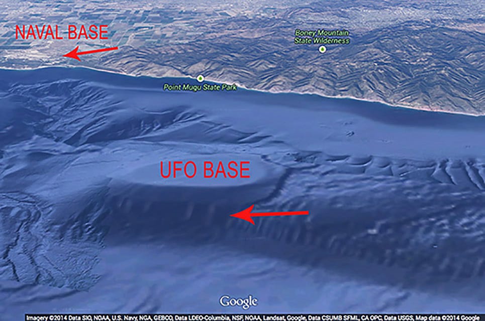
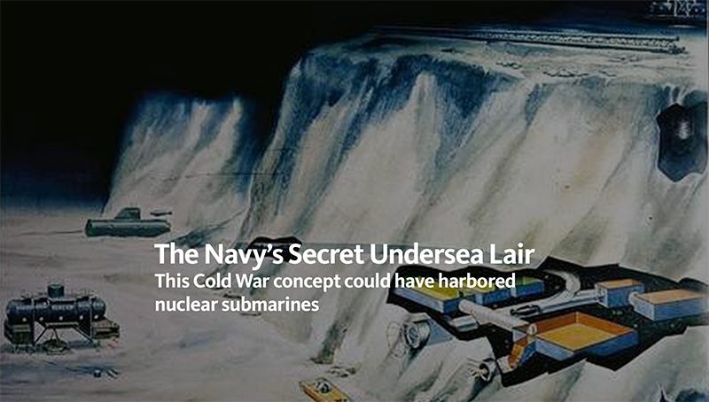
In the above screen capture we can see that Goggle acquires the digital data required to create their composite map from a variety of government agencies including the US Navy which reportedly has built covert underwater military bases in geological formations identical to the one off Point Mugu.
It is important to also note that Point Mugu is the site of a US naval base. The base has a controlled air and sea space weapons test range of 36,000 square miles! If there is a doorway to an underwater base in that area, there is no way the navy wants the public, or other military powers, to see it. However, they may want to distract everyone's attention by digitally creating and promoting a mythical UFO base off the coast of Malibu.
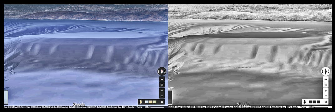
Unfortunately, the digital scan “images” posted on the Internet of what appear to be "giant pillars" holding up a massive roof to an entrance into the earth are actually erosion marks on a large cliff. The data on Google Earth is generated by vertical scans, which creates distortions in vertical objects when "tilt" is applied to the map.
As seen in the images above, when viewed from the side, the reported underwater UFO base off Point Mugu is actually a solid object that is being contoured by underwater currents that are eroding the cliff face.
Although they are rather slow, underwater currents caused by turbidity are powerful enough to carve large submarine canyons. In fact, there are a series of submarine canyons just north of the nonexistent, underwater UFO base off Point Mugu.
Above is another side view of the cliff from the opposite direction.
Here is a view from the back of the cliff formation where we see similar contoured erosion occurring to a much lesser degree.
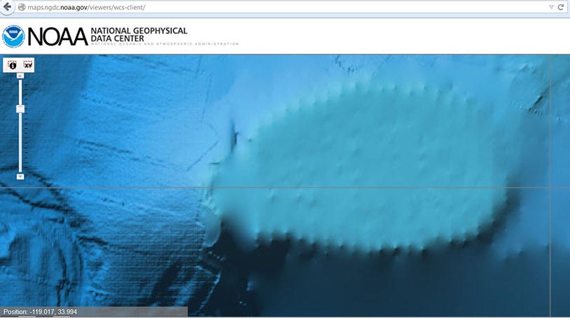
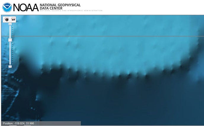
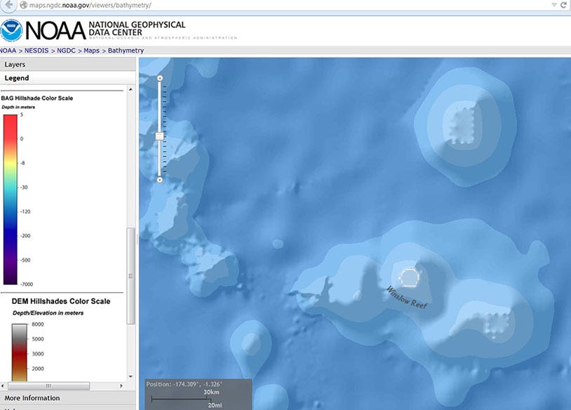
The top of this formation is incredibly flat, and it has some very interesting features that do not appear on Goggle Earth. Below are beam scan images from the US govt. agency NOAA, which Goggle uses as a data source. However, for some reason, they chose not to include these details on their Goggle Earth map of the anomoly off the Malibu coast.
These same strange, evenly-spaced objects are also seen in some very-unusual objects located on the Central Pacific Ocean floor, which are featured in this second half of this article.
Before we examine the strange submerged objects located on the Central Pacific Ocean floor, I would like to clarify something. I first noticed this oval-shaped, underwater object in 2010 while using Google Earth to search the area surrounding the ancient stone monuments I discovered in the mountains of my home town of Malibu in 1985.
To me, this mound-shaped object appeared to be an ancient, artificial platform that is now under the water. It looks similar to one of the mounds at Cahokia located in southern Illinois, USA.
In 2010, I decided to pin the strange underwater mound in Malibu on Google Earth for future reference. However, at the time, I didn't think it was connected to the well-documented UFO and USO activity in the area, which I had experienced many times near Point Mugu by myself and with friends.
In 2010, I also noticed what appeared to be columns at the base of the mound, but I could not see the area in any detail. Therefore, I ignored it until May 12, 2014, when the "Malibu UFO base" myth was created by talk-show host Jimmy Church, a guy named Maxwell and a graphic designer named Dale Romero.
Their press release made some very-strange claims, and for reasons I still don't understand they decided to plagiarize much of my Unicus Magazine article: UFO's Over Malibu and add it to their press release.
Even though the claims of an underwater UFO base off Malibu were refuted in a Huffington Post article quoting highly-credible geologists, like Robert M. Schock, the story went viral on the Internet anyway.
THIS IS WHAT GOOGLE EARTH DISPLAYS OF THE SAME AREA IN 2024
Unfortunately, these illusionary images and unsubstantiated claims continue to captivate the imagination of millions of people around the world. Hopefully, the data provided in my article will set the record straight. However, there's more to the story in the second half of this article below.
The Pacific Ocean is the largest body of water on the planet, and it has long been a place of profound mystery for mankind. In 2013, I found what appear to be underwater ruins using Google Earth.
The reason I was looking in this area was due to an astonishing article I wrote in 2013 about a possible portal to another planet located in the Central Pacific. You can use this link to read my article, Wonder Island: Portal to Paradise?
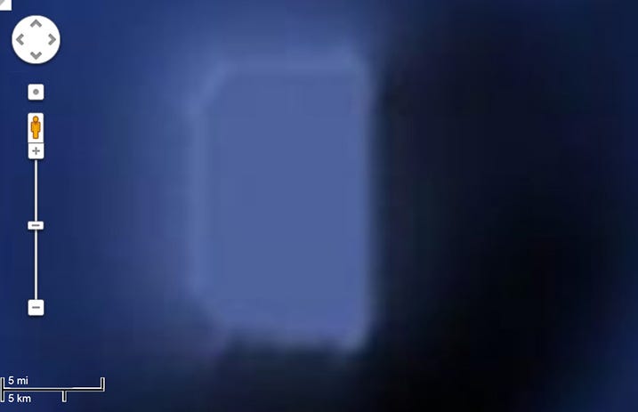
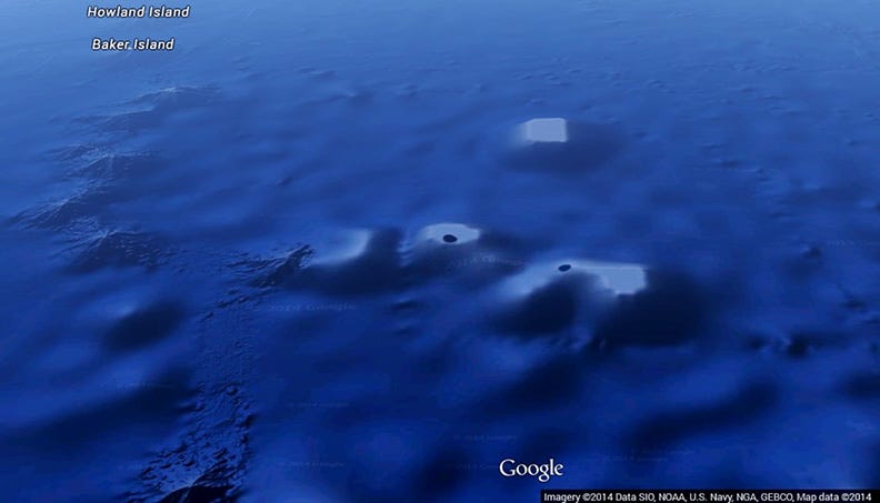
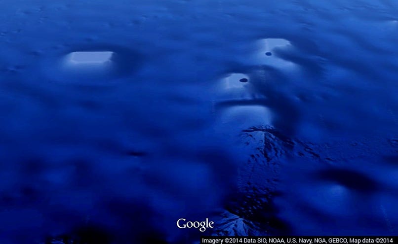
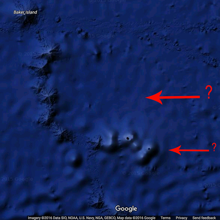
This geometric-shaped object is approx. 5 miles wide and 20 miles long. It was clearly visible on Google Earth in 2009, 2012, 2014 and 2015. As we will see, it was removed in 2016... while I was online analyzing the area.
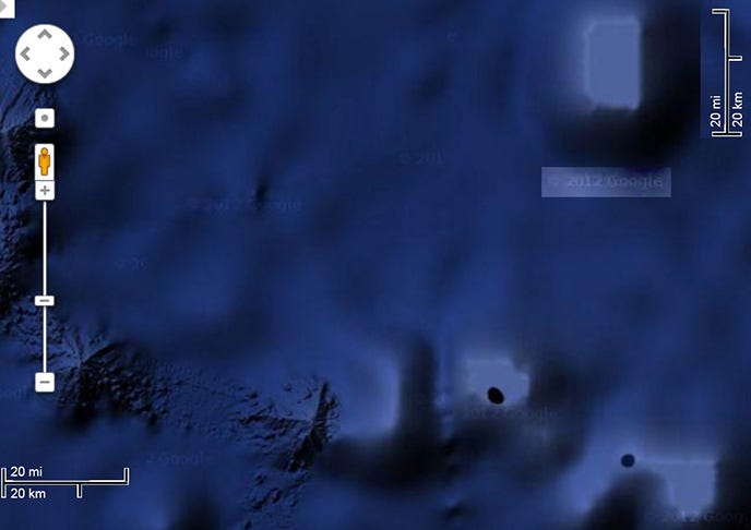
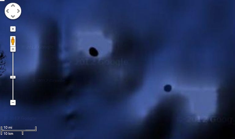
Note what appears to be mile-wide holes in these structures. They do not look like volcanic vents or meteor impact craters in these 2012 Google Earth images. The one on the left is called Winslow Reef.
Winslow Reef up close.
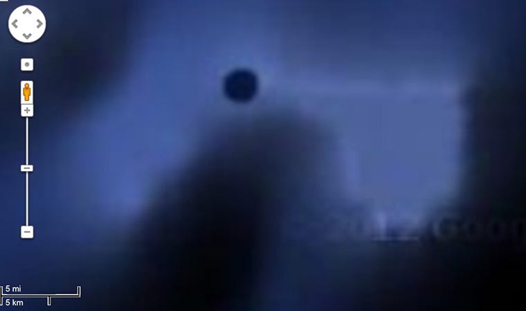
This is the other hole near Winslow Reef. The 2012 Google Earth depth tool indicates that this black hole is over 1,000 feet deep. The square object to the right of the hole was removed by Goggle in 2016. However, as we shall see, it is still there and is very unusual.
This is what the mile-wide hole looks like now. It appears to be a undersea volcano. However, as we will see on another 2016 map it looks nothing like the above Google image, and the square-shaped object next to it does exist.
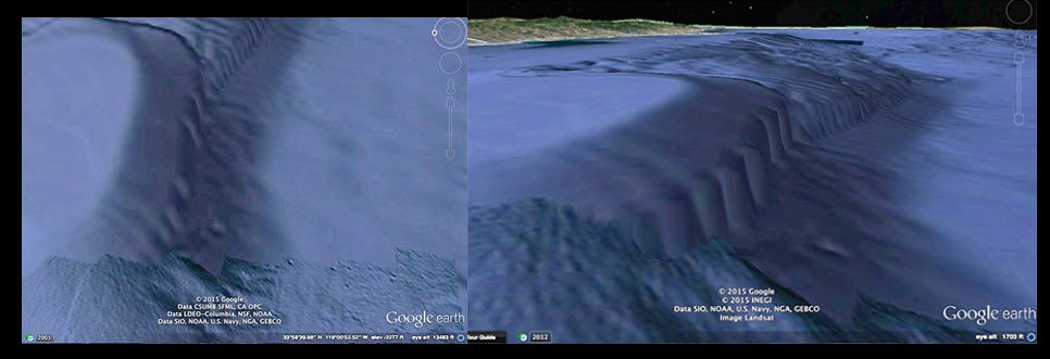
In the images below, note how the top of the geometric objects in the Central Pacific are identical to the top of the oval-shaped object off the coast of Malibu.
They all have evenly-spaced, spherical protrusions. Also, please note that this data is from NOAA which is one of the govt. agencies Google Earth uses to make its maps. However, Google Earth does not provide these details any longer.
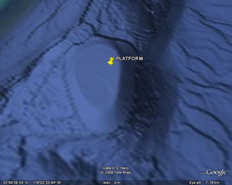
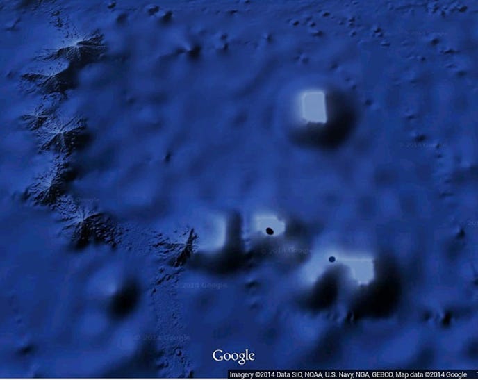
Note that the image below is from Google and it does show the geometric details on the top of these artificial-looking structures. This Google map is dated 2009. I don't recall which web site I found this on, but someone placed a pin on the large, rectangular object.
Before I show you how Google made these structures digitally disappear, I want to share a link to a 2012 science article (DELETED) explaining that Google Ocean was full of errors that have taken years to correct. So, I leave it up to you to decide if this was just an error being corrected or is this govt. censorship.
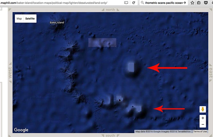
Although this map says 2016 in the bottom margin, it has a 2012 date embedded as a watermark by Google. Now, please compare the above image to the below image from 2016, which has a watermark date of 2015.
Note that the geometric objects are no longer visible, and the list of govt. agencies providing data to Google has changed.
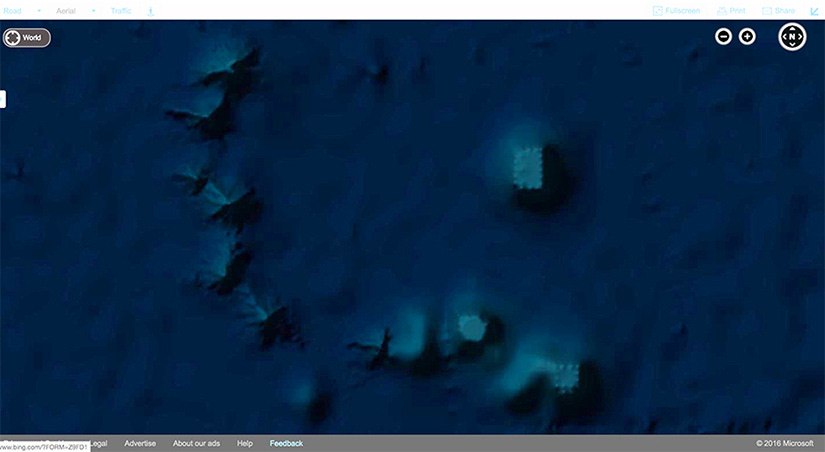
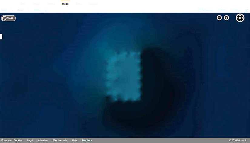
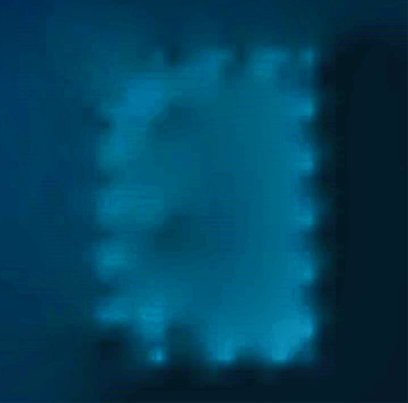
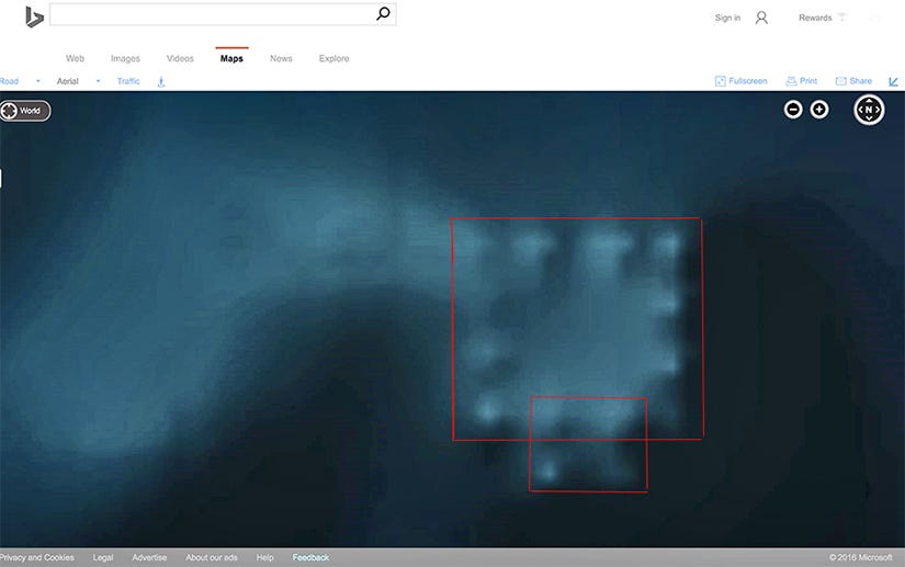
The above images are a photo analysis of one of the underwater structures Google chose to remove in January of 2016. It is nearly 20 miles long and 5 miles wide. It has a perfect North/South alignment, and it sits on a large oval mound.
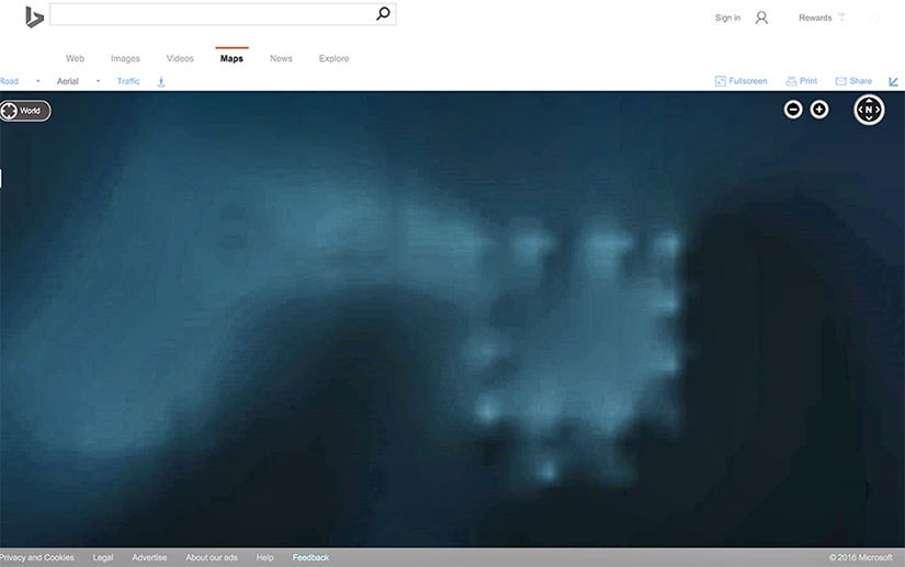
As we can see from the above 2016 map from Bing/Microsoft, who acquires their digital data from the Scripps Institute, the strange objects are not missing. It's clear they have incredibly precise geometry, which is indicative of man-made structures.
Again, this structure is located on an perfectly oval mound. The structure is nearly 20 miles long and 5 miles wide. Now lets look at the other amazing object that Google removed in 2016.
This is clearly an artificial, man-made object. Perhaps that's why Google had to remove it. The proof of Google censoring their map is found in the below screen shots.
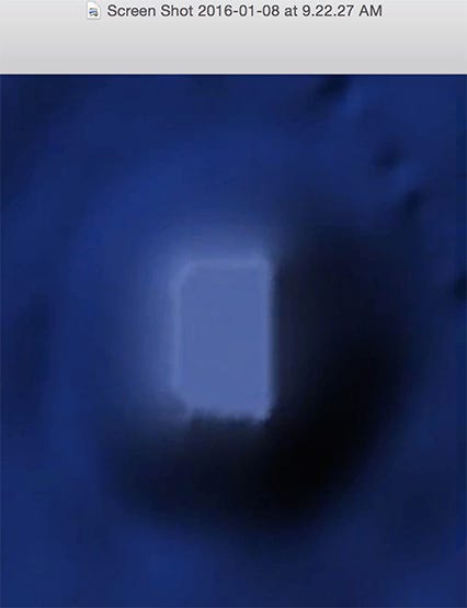
I captured the first image from Google Earth below at 9:22 a.m. Now, please compare this to the next image below captured at 11:37 am. on the same day. The large object and the smaller square object below it are no longer visible on Google Earth!!!
If this is not censorship I don't know what is. Notice that there is a SEND FEEDBACK link on the Google Earth map. Perhaps it's time the public let Google know that they have been caught committing digital deception in the Pacific.


